Ben Klein · 11 October 2026
Clearwald Communities Revise Agricultural Strategies to Enhance Wildlife Corridors
Clearwald communities have implemented changes in farming operations since the early 2020s that align crop management with the needs of migrating animals and resident species, and these adjustments focus on maintaining continuous habitat links across agricultural lands that span the region. Data collected by local monitoring programs shows that such modifications support movement patterns for mammals, birds, and insects while sustaining crop yields in mixed-use zones.
Regional Context and Corridor Mapping
Clearwald sits within a network of forests and open lands where seasonal animal travel routes cross private and public properties, and researchers have mapped these pathways using GPS collars and camera traps to identify pinch points created by intensive tillage and monoculture blocks. In October 2026 updated surveys from regional environmental offices revealed that 68 percent of previously documented gaps now feature transitional plantings that allow safer passage for species including deer, foxes, and pollinators.
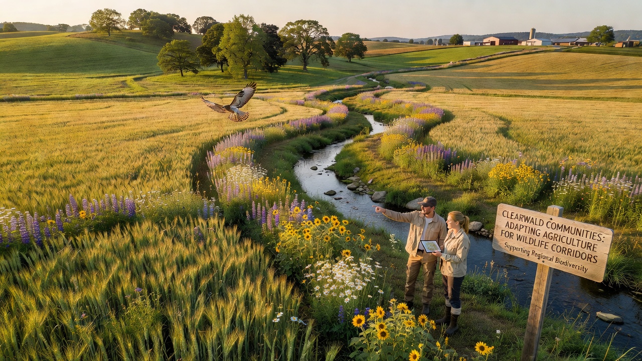
Authorities coordinate with landowners to designate strips of uncultivated ground along property boundaries, and these strips connect to larger protected areas while limiting soil erosion that once reduced water quality in nearby streams. Studies conducted by agricultural extension services indicate that such strips increase invertebrate populations which in turn support bird foraging during migration periods.
Practical Changes on Working Farms
Farmers rotate cover crops such as clover and rye on fields adjacent to corridors, and this practice builds soil structure without leaving bare ground that discourages animal movement. Equipment operators adjust mowing schedules to avoid peak activity times for ground-nesting species, while irrigation systems direct water away from corridor edges to prevent flooding of low-lying travel routes. Records from participating operations show that these timed interventions maintain harvest volumes comparable to prior years yet reduce incidents of crop damage from wildlife crossing active plots.
Buffer plantings of native shrubs and wildflowers replace sections of fencing that previously created barriers, and these plantings provide both shelter and food sources during different seasons. Equipment modifications include wider turning radii on tractors to avoid compacting soil near corridor margins, and soil sensors now trigger precise fertilizer applications that keep nutrient runoff below thresholds established by watershed management plans.
Collaborative Monitoring and Data Sharing
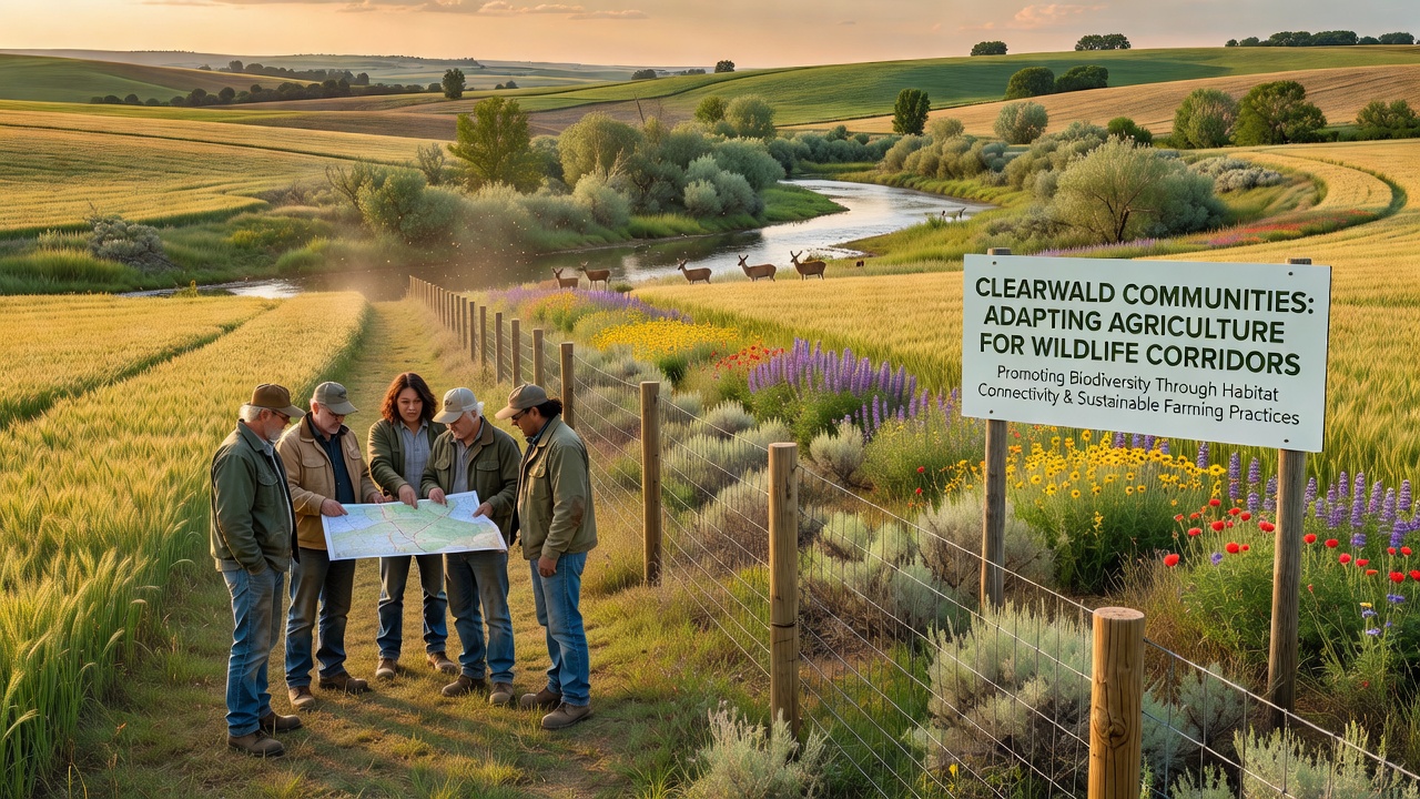
Local cooperatives compile observations from trail cameras and acoustic monitors placed along corridor segments, and the resulting datasets feed into shared platforms used by both agricultural and conservation groups. Figures released by the European Environment Agency in late 2026 documented a 22 percent rise in detected crossings by medium-sized mammals at sites where farming practices had been adjusted for two or more years. University-led projects in partnership with Clearwald producers test seed mixes that establish quickly and resist grazing pressure, while also tracking changes in plant diversity that affect insect communities essential to the food web.
Training sessions organized by agricultural colleges teach operators how to interpret satellite imagery of vegetation density along corridors, and participants learn to identify early signs of habitat fragmentation before it affects movement. These sessions emphasize measurable indicators such as stem count per square meter and canopy closure percentages rather than subjective assessments.
Outcomes Observed Through 2026
Long-term plots established in 2023 continue to record higher species richness where hedgerows and set-aside strips remain intact, and yield data from adjacent fields shows stable production of staple grains and forage crops. Water sampling downstream from modified farms registers lower sediment loads during heavy rain events, which supports aquatic life in corridor-adjacent waterways. Community records note fewer reports of animals entering residential zones as travel routes through farmland become more reliable.
Funding from regional development programs covers initial costs for native plant stock and fencing adjustments, and repayment schedules tie to documented improvements in soil health metrics tracked annually. Extension agents visit sites quarterly to verify compliance with corridor guidelines and to adjust planting recommendations based on weather patterns recorded during the prior season.
Conclusion
Clearwald agricultural operations demonstrate measurable integration of wildlife corridor requirements into daily management decisions, and ongoing data collection supports continued refinement of these methods across expanding areas. Participation rates among landowners have increased steadily since initial pilot projects, reflecting consistent documentation of both ecological and production benefits. Future mapping updates scheduled for 2027 will assess whether corridor connectivity reaches additional target thresholds established by multi-stakeholder planning documents.